MARINE SURVEY
STATUS: ONGOING
Ministry Partner: Ministry of Natural Resources, Labour and Immigration
Project Number: 189
Project Start Date: June 2019
Projected End Date: July 2019
Duration: 1 month
Contractor: UK National Oceanography Centre
Funding Source: BVI and UK Governments
BACKGROUND
The seas surrounding the Virgin Islands are an invaluable natural resource. Besides being the ‘sailing capital of the world’ there are potential economic opportunities that could be exploited in our waters, as well as resources that require protection.
Developing an effective ‘blue economy’ requires first collecting data on the marine environment through a marine survey. These data can then be used to decide how best to utilise available resources – otherwise known as marine spatial planning.
Activity
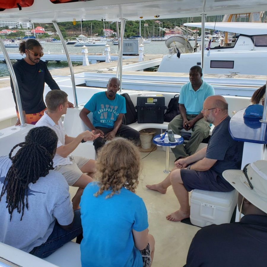
The team also trained 16 (11 male, 5 female) staff from NPT and MNRL in marine survey techniques, use of equipment and collection and analysis of data, so that they may conduct similar surveys themselves in the future. The project also procured essential equipment for Virgin Island authorities to conduct ongoing data analysis. The second phase will be to support the Ministry in the formulation of a Marine Spatial Plan and additional training opportunities.
Result
They also now have the training and equipment to carry out surveys, analyse data and undertake further marine spatial planning.
Budget
The state received the following funds: $146,678.00 from UK Government.

Please reach us at feedback@bvirecovery.vg or through our Contact Us page if you’d like to provide a donation to this project.


